|
Profile
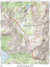
Topo
Picture
1
|
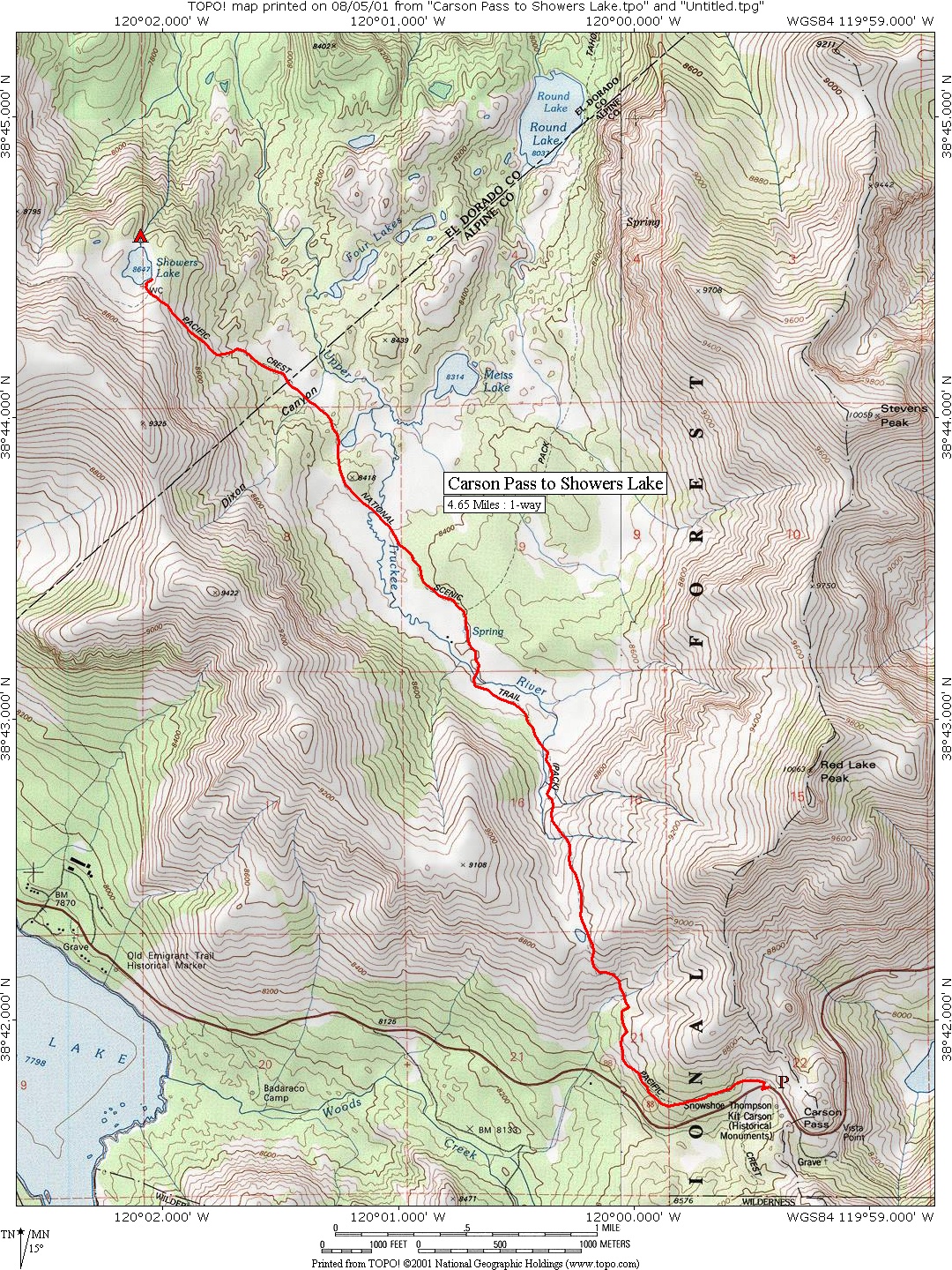
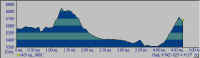
Carson
Pass to Showers Lake
4.6
miles to Showers Lake
HWY.
88 TO SHOWERS LAKE:
Follow directions to the trailhead from the previous hike. Showers Lake is the
highest in the Upper Truckee River Basin. Follow the Pacific Crest Trail through
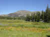
expansive meadows with views of Round Top (10,381'), Elephant's Back (9,585')
and Red Lake Peak (10,063'). The trail begins by winding upward through a series
of switchbacks for over a mile. After reaching a summit, the trail drops down a
steep grade into the flatlands of Meiss Meadows, riddled by many streams in the
springtime. At this point, the trail parallels an old jeep trail for about a
mile. When you reach a junction, take the left fork which will eventually lead
you up a moderate hill, covered with wildflowers in the spring. Reaching the
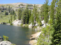
crest, the trail descends to Showers Lake, one of the cooler lakes in the Tahoe
area. |